
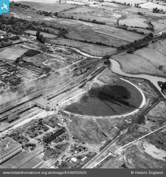
EAW050620 ENGLAND (1953). The Rye House Power Station coal yard, Rye Park, 1953
© Copyright OpenStreetMap contributors and licensed by the OpenStreetMap Foundation. 2025. Cartography is licensed as CC BY-SA.
Nearby Images (13)
EAW050620

EAW050618

EAW050619

EAW022406

EAW050631

EAW026290

EAW040603

EAW022409

EAW026293

EAW022413

EAW026287

EAW032361

EAW036381

Details
| Title | [EAW050620] The Rye House Power Station coal yard, Rye Park, 1953 |
| Reference | EAW050620 |
| Date | 15-July-1953 |
| Link | |
| Place name | RYE PARK |
| Parish | |
| District | |
| Country | ENGLAND |
| Easting / Northing | 538795, 209174 |
| Longitude / Latitude | 0.011472548190372, 51.763568893798 |
| National Grid Reference | TL388092 |
Pins
Be the first to add a comment to this image!