
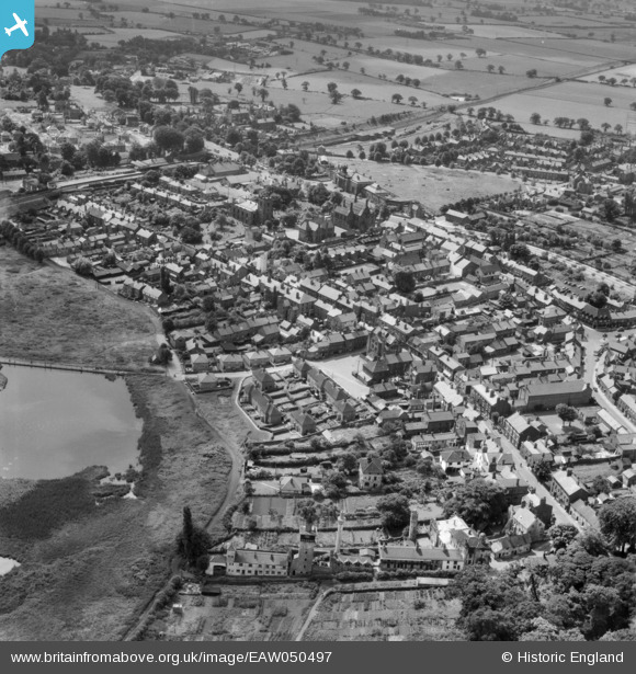
EAW050497 ENGLAND (1953). King Street and the surrounding town, Knutsford, 1953
© Copyright OpenStreetMap contributors and licensed by the OpenStreetMap Foundation. 2026. Cartography is licensed as CC BY-SA.
Nearby Images (6)
EAW050497

EPW019446

EAW050495

EPW019443

EPW019445

EPW019447

Details
| Title | [EAW050497] King Street and the surrounding town, Knutsford, 1953 |
| Reference | EAW050497 |
| Date | 8-July-1953 |
| Link | |
| Place name | KNUTSFORD |
| Parish | KNUTSFORD |
| District | |
| Country | ENGLAND |
| Easting / Northing | 375224, 378710 |
| Longitude / Latitude | -2.3718404055529, 53.304483633737 |
| National Grid Reference | SJ752787 |
Pins

Gary Gardner |
Monday 7th of December 2020 10:29:13 AM | |
|
Gary Gardner |
Monday 7th of December 2020 10:27:14 AM | |
|
Stan Howard |
Thursday 6th of June 2019 02:42:00 PM | |
|
bassman |
Saturday 23rd of April 2016 06:49:49 PM | |
|
Ian Warburton |
Sunday 28th of December 2014 10:57:01 PM |