
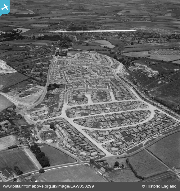
EAW050299 ENGLAND (1953). Council estate at Chickenley, Dewsbury, 1953. This image was marked by Aerofilms Ltd for photo editing.
© Copyright OpenStreetMap contributors and licensed by the OpenStreetMap Foundation. 2026. Cartography is licensed as CC BY-SA.
Nearby Images (7)
EAW050299

EAW050297

EAW050301

EAW050294

EAW050298

EAW050295

EAW050300

Details
| Title | [EAW050299] Council estate at Chickenley, Dewsbury, 1953. This image was marked by Aerofilms Ltd for photo editing. |
| Reference | EAW050299 |
| Date | 3-July-1953 |
| Link | |
| Place name | DEWSBURY |
| Parish | |
| District | |
| Country | ENGLAND |
| Easting / Northing | 426564, 421203 |
| Longitude / Latitude | -1.5977267685297, 53.686377127886 |
| National Grid Reference | SE266212 |
Pins
Be the first to add a comment to this image!