
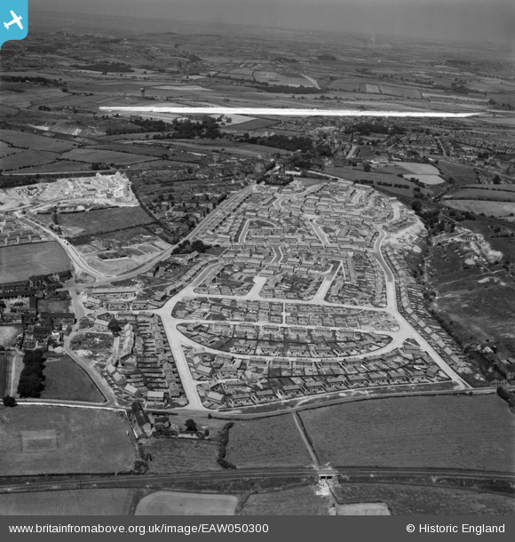
EAW050300 ENGLAND (1953). Council estate at Chickenley, Dewsbury, from the south, 1953. This image was marked by Aerofilms Ltd for photo editing.
© Copyright OpenStreetMap contributors and licensed by the OpenStreetMap Foundation. 2026. Cartography is licensed as CC BY-SA.
Nearby Images (13)
EAW050300

EAW050296

EAW042442

EAW042434

EAW050299

EAW042430

EAW042435

EAW042436

EAW042438

EAW042432

EAW042439

EAW042441

EAW050301

Details
| Title | [EAW050300] Council estate at Chickenley, Dewsbury, from the south, 1953. This image was marked by Aerofilms Ltd for photo editing. |
| Reference | EAW050300 |
| Date | 3-July-1953 |
| Link | |
| Place name | DEWSBURY |
| Parish | |
| District | |
| Country | ENGLAND |
| Easting / Northing | 426439, 420997 |
| Longitude / Latitude | -1.5996372257137, 53.684531743532 |
| National Grid Reference | SE264210 |
Pins
Be the first to add a comment to this image!