
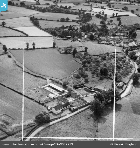
EAW049973 ENGLAND (1953). Fly Boat Farm and the village, Pitminster, 1953. This image was marked by Aerofilms Ltd for photo editing.
© Copyright OpenStreetMap contributors and licensed by the OpenStreetMap Foundation. 2025. Cartography is licensed as CC BY-SA.
Nearby Images (6)
EAW049973

EAW049968

EAW049969

EAW049971

EAW049972

EAW049970

Details
| Title | [EAW049973] Fly Boat Farm and the village, Pitminster, 1953. This image was marked by Aerofilms Ltd for photo editing. |
| Reference | EAW049973 |
| Date | 18-June-1953 |
| Link | |
| Place name | PITMINSTER |
| Parish | PITMINSTER |
| District | |
| Country | ENGLAND |
| Easting / Northing | 322336, 119218 |
| Longitude / Latitude | -3.1061303137231, 50.966595198368 |
| National Grid Reference | ST223192 |
Pins
 totoro |
Tuesday 5th of August 2014 08:43:12 PM |