
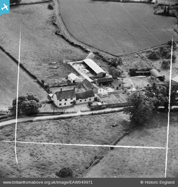
EAW049971 ENGLAND (1953). Fly Boat Farm, Pitminster, 1953. This image was marked by Aerofilms Ltd for photo editing.
© Copyright OpenStreetMap contributors and licensed by the OpenStreetMap Foundation. 2025. Cartography is licensed as CC BY-SA.
Nearby Images (6)
EAW049971

EAW049969

EAW049972

EAW049970

EAW049968

EAW049973

Details
| Title | [EAW049971] Fly Boat Farm, Pitminster, 1953. This image was marked by Aerofilms Ltd for photo editing. |
| Reference | EAW049971 |
| Date | 18-June-1953 |
| Link | |
| Place name | PITMINSTER |
| Parish | PITMINSTER |
| District | |
| Country | ENGLAND |
| Easting / Northing | 322443, 119257 |
| Longitude / Latitude | -3.1046149860112, 50.966960292714 |
| National Grid Reference | ST224193 |
Pins
 totoro |
Tuesday 5th of August 2014 08:42:55 PM |