
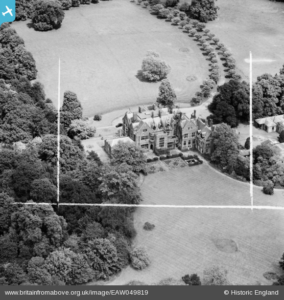
EAW049819 ENGLAND (1953). Reading Blue Coat School, Sonning, 1953. This image was marked by Aerofilms Ltd for photo editing.
© Copyright OpenStreetMap contributors and licensed by the OpenStreetMap Foundation. 2026. Cartography is licensed as CC BY-SA.
Nearby Images (16)
EAW049819

EAW049823

EPW032651

EPW032652

EAW049820

EPW032650

EAW049821

EPW032647

EPW032648

EPW032661

EPW032649

EAW049825

EAW049824

EAW049822

EAW049826

EPW032644

Details
| Title | [EAW049819] Reading Blue Coat School, Sonning, 1953. This image was marked by Aerofilms Ltd for photo editing. |
| Reference | EAW049819 |
| Date | 6-June-1953 |
| Link | |
| Place name | SONNING |
| Parish | SONNING |
| District | |
| Country | ENGLAND |
| Easting / Northing | 475237, 175214 |
| Longitude / Latitude | -0.91667559243749, 51.470396926375 |
| National Grid Reference | SU752752 |
Pins
Be the first to add a comment to this image!