
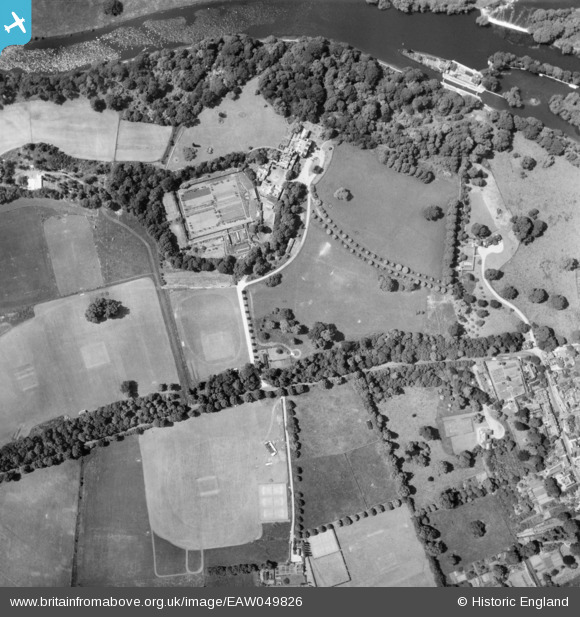
EAW049826 ENGLAND (1953). Reading Blue Coat School, Sonning, 1953
© Copyright OpenStreetMap contributors and licensed by the OpenStreetMap Foundation. 2026. Cartography is licensed as CC BY-SA.
Nearby Images (14)
EAW049826

EAW049824

EAW049825

EPW032647

EPW032661

EPW032648

EAW049821

EPW032651

EPW032652

EAW049819

EAW049820

EAW049823

EPW032650

EPW032649

Details
| Title | [EAW049826] Reading Blue Coat School, Sonning, 1953 |
| Reference | EAW049826 |
| Date | 6-June-1953 |
| Link | |
| Place name | SONNING |
| Parish | SONNING |
| District | |
| Country | ENGLAND |
| Easting / Northing | 475427, 175139 |
| Longitude / Latitude | -0.91395635545481, 51.469697303859 |
| National Grid Reference | SU754751 |
Pins
Be the first to add a comment to this image!