
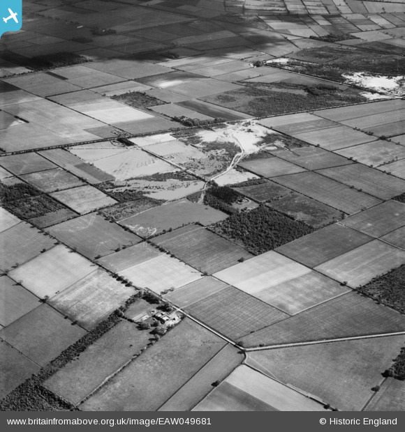
EAW049681 ENGLAND (1953). Quarrying at Blaxton Common near Eleven Acre Plantation, Blaxton, 1953
© Copyright OpenStreetMap contributors and licensed by the OpenStreetMap Foundation. 2025. Cartography is licensed as CC BY-SA.
Nearby Images (5)
EAW049681

EAW049679

EAW047492

EAW049683

EAW049678

Details
| Title | [EAW049681] Quarrying at Blaxton Common near Eleven Acre Plantation, Blaxton, 1953 |
| Reference | EAW049681 |
| Date | 23-May-1953 |
| Link | |
| Place name | BLAXTON |
| Parish | BLAXTON |
| District | |
| Country | ENGLAND |
| Easting / Northing | 468649, 401469 |
| Longitude / Latitude | -0.96483533283355, 53.505175689223 |
| National Grid Reference | SE686015 |
Pins
Be the first to add a comment to this image!