
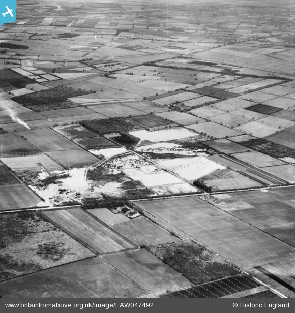
EAW047492 ENGLAND (1952). Quarry, sand and gravel pits off Wroot Road and environs, Blaxton, 1952
© Copyright OpenStreetMap contributors and licensed by the OpenStreetMap Foundation. 2025. Cartography is licensed as CC BY-SA.
Nearby Images (9)
EAW047492

EAW049679

EAW049678

EAW049681

EAW049675

EAW049683

EAW043527

EAW047477

EAW043530

Details
| Title | [EAW047492] Quarry, sand and gravel pits off Wroot Road and environs, Blaxton, 1952 |
| Reference | EAW047492 |
| Date | 10-October-1952 |
| Link | |
| Place name | BLAXTON |
| Parish | BLAXTON |
| District | |
| Country | ENGLAND |
| Easting / Northing | 468704, 401348 |
| Longitude / Latitude | -0.96403265057619, 53.504080959582 |
| National Grid Reference | SE687013 |
Pins
Be the first to add a comment to this image!