
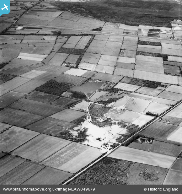
EAW049679 ENGLAND (1953). Blaxton Quarry, Blaxton, 1953
© Copyright OpenStreetMap contributors and licensed by the OpenStreetMap Foundation. 2025. Cartography is licensed as CC BY-SA.
Nearby Images (7)
EAW049679

EAW049681

EAW047492

EAW049683

EAW049678

EAW043527

EAW047477

Details
| Title | [EAW049679] Blaxton Quarry, Blaxton, 1953 |
| Reference | EAW049679 |
| Date | 24-May-1953 |
| Link | |
| Place name | BLAXTON |
| Parish | BLAXTON |
| District | |
| Country | ENGLAND |
| Easting / Northing | 468671, 401438 |
| Longitude / Latitude | -0.96451044330652, 53.504894188955 |
| National Grid Reference | SE687014 |
Pins
Be the first to add a comment to this image!