
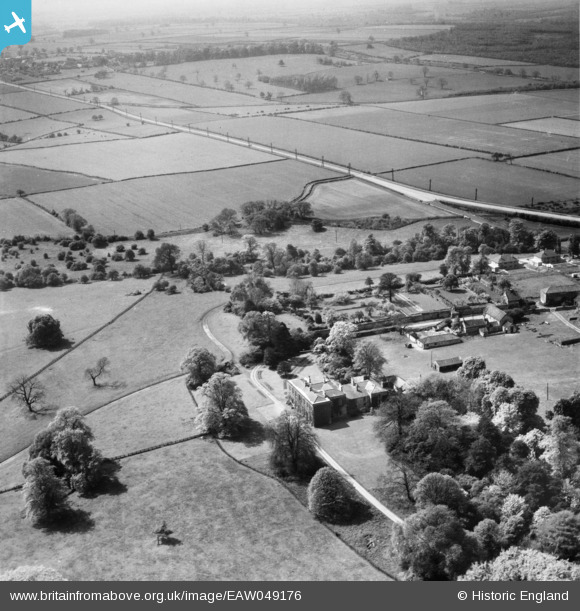
EAW049176 ENGLAND (1953). Loversall Hall and the surrounding countryside, Loversall, from the north-east, 1953
© Copyright OpenStreetMap contributors and licensed by the OpenStreetMap Foundation. 2025. Cartography is licensed as CC BY-SA.
Nearby Images (7)
EAW049176

EAW033458

EAW033457

EAW033459

EAW049175

EAW033456

EAW049177

Details
| Title | [EAW049176] Loversall Hall and the surrounding countryside, Loversall, from the north-east, 1953 |
| Reference | EAW049176 |
| Date | 11-May-1953 |
| Link | |
| Place name | LOVERSALL |
| Parish | LOVERSALL |
| District | |
| Country | ENGLAND |
| Easting / Northing | 457648, 398603 |
| Longitude / Latitude | -1.1312241788743, 53.480736059767 |
| National Grid Reference | SK576986 |
Pins
Be the first to add a comment to this image!