
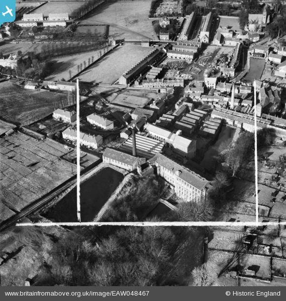
EAW048467 ENGLAND (1953). Woodlands Mill and environs, Steeton, 1953. This image was marked by Aerofilms Ltd for photo editing.
© Copyright OpenStreetMap contributors and licensed by the OpenStreetMap Foundation. 2025. Cartography is licensed as CC BY-SA.
Nearby Images (11)
EAW048467

EAW048468

EAW048460

EAW048462

EAW048463

EAW048461

EAW048464

EAW048464
EAW048466

EAW048459

EAW048465

Details
| Title | [EAW048467] Woodlands Mill and environs, Steeton, 1953. This image was marked by Aerofilms Ltd for photo editing. |
| Reference | EAW048467 |
| Date | 24-February-1953 |
| Link | |
| Place name | STEETON |
| Parish | STEETON WITH EASTBURN |
| District | |
| Country | ENGLAND |
| Easting / Northing | 403260, 444143 |
| Longitude / Latitude | -1.9503886645257, 53.8932505775 |
| National Grid Reference | SE033441 |
Pins
Be the first to add a comment to this image!