
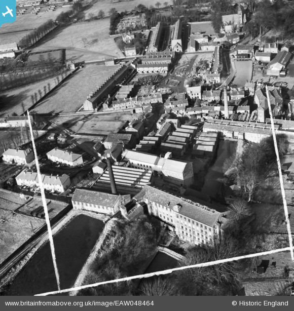
EAW048464 ENGLAND (1953). Woodlands Mill, Bobbin Mill and environs, Steeton, 1953. This image was marked by Aerofilms Ltd for photo editing.
© Copyright OpenStreetMap contributors and licensed by the OpenStreetMap Foundation. 2025. Cartography is licensed as CC BY-SA.
Nearby Images (11)
EAW048464

EAW048464
EAW048460

EAW048468

EAW048462

EAW048467

EAW048461

EAW048459

EAW048463

EAW048466

EAW048465

Details
| Title | [EAW048464] Woodlands Mill, Bobbin Mill and environs, Steeton, 1953. This image was marked by Aerofilms Ltd for photo editing. |
| Reference | EAW048464 |
| Date | 24-February-1953 |
| Link | |
| Place name | STEETON |
| Parish | STEETON WITH EASTBURN |
| District | |
| Country | ENGLAND |
| Easting / Northing | 403270, 444185 |
| Longitude / Latitude | -1.9502360340658, 53.893628046905 |
| National Grid Reference | SE033442 |
