
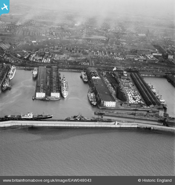
EAW048043 ENGLAND (1952). Gladstone Dock and environs, Bootle, from the south-west, 1952
© Copyright OpenStreetMap contributors and licensed by the OpenStreetMap Foundation. 2026. Cartography is licensed as CC BY-SA.
Nearby Images (11)
EAW048043

EAW004631

EAW001710

EAW001711

EPW037727

EAW042532

EAW004630

EAW004632

EPW023555

EAW051426

EPW018872

Details
| Title | [EAW048043] Gladstone Dock and environs, Bootle, from the south-west, 1952 |
| Reference | EAW048043 |
| Date | 12-December-1952 |
| Link | |
| Place name | BOOTLE |
| Parish | |
| District | |
| Country | ENGLAND |
| Easting / Northing | 332295, 395572 |
| Longitude / Latitude | -3.0196608427979, 53.452295457347 |
| National Grid Reference | SJ323956 |
Pins
Be the first to add a comment to this image!