
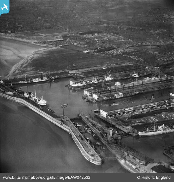
EAW042532 ENGLAND (1952). Gladstone Docks, Bootle, from the south, 1952
© Copyright OpenStreetMap contributors and licensed by the OpenStreetMap Foundation. 2026. Cartography is licensed as CC BY-SA.
Nearby Images (17)
EAW042532

EPW018920

EPW018923

EAW001710

EPW023555

EAW051426

EPW023558

EPW018922

EAW048043

EPW018898

EPW023556

EAW004631

EAW001711

EPW037727

EPW023557

EPW023554

EAW004630

Details
| Title | [EAW042532] Gladstone Docks, Bootle, from the south, 1952 |
| Reference | EAW042532 |
| Date | 18-May-1952 |
| Link | |
| Place name | BOOTLE |
| Parish | |
| District | |
| Country | ENGLAND |
| Easting / Northing | 332491, 395553 |
| Longitude / Latitude | -3.0167054465232, 53.452149835876 |
| National Grid Reference | SJ325956 |
Pins

redmist |
Friday 12th of February 2021 07:23:49 PM |