
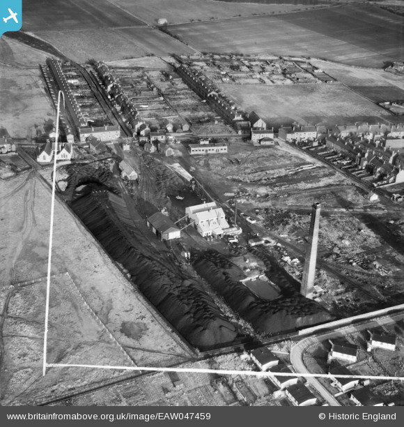
EAW047459 ENGLAND (1952). The Coal Briquette Works, Hopetown, 1952. This image was marked by Aerofilms Ltd for photo editing.
© Copyright OpenStreetMap contributors and licensed by the OpenStreetMap Foundation. 2026. Cartography is licensed as CC BY-SA.
Nearby Images (10)
EAW047459

EAW047467

EAW047460

EAW047458

EAW047464

EAW047466

EAW047465

EAW047463

EAW047462

EAW047461

Details
| Title | [EAW047459] The Coal Briquette Works, Hopetown, 1952. This image was marked by Aerofilms Ltd for photo editing. |
| Reference | EAW047459 |
| Date | 10-October-1952 |
| Link | |
| Place name | HOPETOWN |
| Parish | NORMANTON |
| District | |
| Country | ENGLAND |
| Easting / Northing | 439784, 423276 |
| Longitude / Latitude | -1.3972730864452, 53.704171059775 |
| National Grid Reference | SE398233 |
Pins
Be the first to add a comment to this image!