
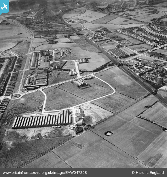
EAW047298 ENGLAND (1952). Speke Industrial Estate and environs, Speke, 1952
© Copyright OpenStreetMap contributors and licensed by the OpenStreetMap Foundation. 2026. Cartography is licensed as CC BY-SA.
Nearby Images (5)
EAW047298

EAW047303

EAW003056

EAW003055

EAW047294

Details
| Title | [EAW047298] Speke Industrial Estate and environs, Speke, 1952 |
| Reference | EAW047298 |
| Date | 4-October-1952 |
| Link | |
| Place name | SPEKE |
| Parish | |
| District | |
| Country | ENGLAND |
| Easting / Northing | 343561, 384165 |
| Longitude / Latitude | -2.847972297033, 53.351089698465 |
| National Grid Reference | SJ436842 |
Pins

Hamilton163 |
Sunday 28th of August 2022 11:18:52 AM | |
|
Hamilton163 |
Sunday 28th of August 2022 11:18:08 AM | |
|
beast66606 |
Wednesday 18th of June 2014 10:31:18 PM | |
|
beast66606 |
Wednesday 18th of June 2014 10:30:59 PM |