
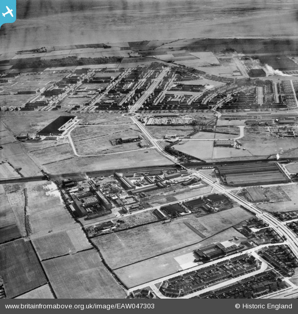
EAW047303 ENGLAND (1952). Speke Industrial Estate and environs, Speke, 1952
© Copyright OpenStreetMap contributors and licensed by the OpenStreetMap Foundation. 2026. Cartography is licensed as CC BY-SA.
Nearby Images (5)
EAW047303

EAW047298

EAW036020
 Ltd Factory and environs, Hunt's Cross, 1951. This image has been produced from a print.")
EAW037631
, the Distillers Co Penicillin Factory and the surrounding area, Hunt's Cross, from the south-west, 1951. This image has been produced from a print marked by Aerofilms Ltd for photo editing.")
EAW003049

Details
| Title | [EAW047303] Speke Industrial Estate and environs, Speke, 1952 |
| Reference | EAW047303 |
| Date | 4-October-1952 |
| Link | |
| Place name | SPEKE |
| Parish | |
| District | |
| Country | ENGLAND |
| Easting / Northing | 343463, 384266 |
| Longitude / Latitude | -2.849462578306, 53.351987087204 |
| National Grid Reference | SJ435843 |
Pins

Hamilton163 |
Friday 21st of August 2015 02:25:47 PM | |
|
Hamilton163 |
Friday 21st of August 2015 02:23:35 PM | |
|
Hamilton163 |
Friday 21st of August 2015 02:22:38 PM | |
|
Hamilton163 |
Friday 21st of August 2015 02:17:18 PM | |
|
Hamilton163 |
Friday 21st of August 2015 02:16:01 PM | |
|
Hamilton163 |
Friday 21st of August 2015 02:14:13 PM |