
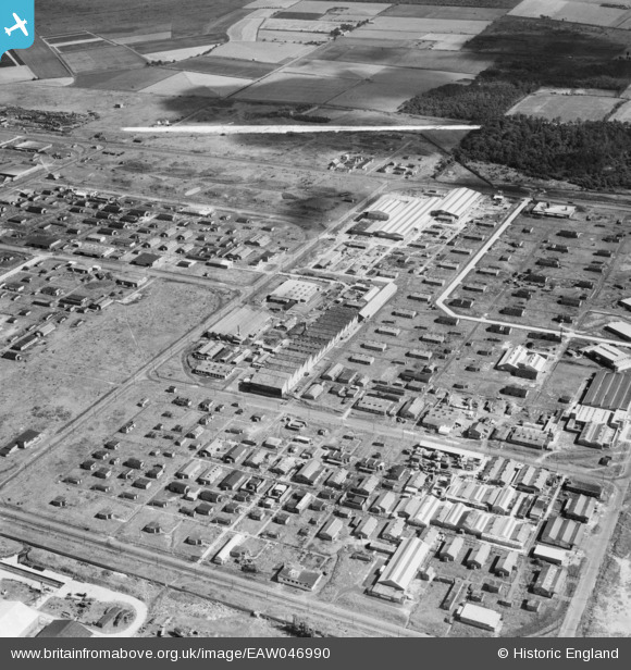
EAW046990 ENGLAND (1952). The Kirkby Industrial Estate around Kirkby Bank Road, Kirkby, 1952. This image was marked by Aerofilms Ltd for photo editing.
© Copyright OpenStreetMap contributors and licensed by the OpenStreetMap Foundation. 2026. Cartography is licensed as CC BY-SA.
Nearby Images (9)
EAW046990

EAW005659

EAW004620
, Kirkby, 1947. This image was marked by Aerofilms Ltd for photo editing.")
EAW004621
, Kirkby, 1947. This image was marked by Aerofilms Ltd for photo editing.")
EAW047000

EAW004616
, Kirkby, 1947")
EAW005658

EAW005660

EAW004617
, Kirkby, 1947")
Details
| Title | [EAW046990] The Kirkby Industrial Estate around Kirkby Bank Road, Kirkby, 1952. This image was marked by Aerofilms Ltd for photo editing. |
| Reference | EAW046990 |
| Date | 7-September-1952 |
| Link | |
| Place name | KIRKBY |
| Parish | |
| District | |
| Country | ENGLAND |
| Easting / Northing | 343180, 398551 |
| Longitude / Latitude | -2.856289696389, 53.48035870674 |
| National Grid Reference | SJ432986 |
Pins
Be the first to add a comment to this image!