
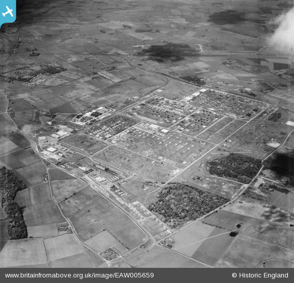
EAW005659 ENGLAND (1947). The site of Knowsley Industrial Estate and the surrounding countryside, Kirkby, 1947
© Copyright OpenStreetMap contributors and licensed by the OpenStreetMap Foundation. 2026. Cartography is licensed as CC BY-SA.
Nearby Images (9)
EAW005659

EAW046990

EAW047000

EAW004620
, Kirkby, 1947. This image was marked by Aerofilms Ltd for photo editing.")
EAW004621
, Kirkby, 1947. This image was marked by Aerofilms Ltd for photo editing.")
EAW005660

EAW005658

EAW004617
, Kirkby, 1947")
EAW004616
, Kirkby, 1947")
Details
| Title | [EAW005659] The site of Knowsley Industrial Estate and the surrounding countryside, Kirkby, 1947 |
| Reference | EAW005659 |
| Date | 15-May-1947 |
| Link | |
| Place name | KIRKBY |
| Parish | |
| District | |
| Country | ENGLAND |
| Easting / Northing | 343148, 398547 |
| Longitude / Latitude | -2.8567711597572, 53.480319296925 |
| National Grid Reference | SJ431985 |
Pins

Skier |
Thursday 18th of April 2024 07:01:07 PM | |
|
Skier |
Thursday 18th of April 2024 06:59:58 PM | |
|
austin |
Monday 8th of February 2021 09:43:57 PM | |
|
austin |
Monday 8th of February 2021 09:40:30 PM | |
|
austin |
Wednesday 12th of February 2020 11:27:14 AM | |
|
trotter |
Wednesday 15th of January 2020 08:41:38 PM |