
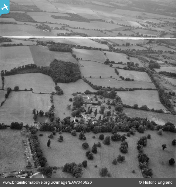
EAW046826 ENGLAND (1952). Sherfield Hall, Petty's Copse and surrounding countryside, Sherfield on Loddon, 1952. This image was marked by Aerofilms Ltd for photo editing.
© Copyright OpenStreetMap contributors and licensed by the OpenStreetMap Foundation. 2026. Cartography is licensed as CC BY-SA.
Nearby Images (9)
EAW046826

EAW046822

EAW046821

EAW046171

EAW046169

EAW046173

EAW046172

EAW046174

EAW046170

Details
| Title | [EAW046826] Sherfield Hall, Petty's Copse and surrounding countryside, Sherfield on Loddon, 1952. This image was marked by Aerofilms Ltd for photo editing. |
| Reference | EAW046826 |
| Date | September-1952 |
| Link | |
| Place name | SHERFIELD ON LODDON |
| Parish | SHERFIELD ON LODDON |
| District | |
| Country | ENGLAND |
| Easting / Northing | 466572, 156103 |
| Longitude / Latitude | -1.0450050696988, 51.299647874248 |
| National Grid Reference | SU666561 |
Pins

William de la Riviere |
Tuesday 15th of September 2020 01:06:59 PM | |
|
Nowy Paul |
Saturday 6th of December 2014 11:35:49 AM | |
Bramley was the Central Ammunition Depot for many years. It remains as an MoD training ground. |
John W |
Saturday 29th of July 2023 07:18:59 PM |
|
Nowy Paul |
Saturday 6th of December 2014 11:34:18 AM | |
|
Nowy Paul |
Saturday 6th of December 2014 11:27:14 AM |