
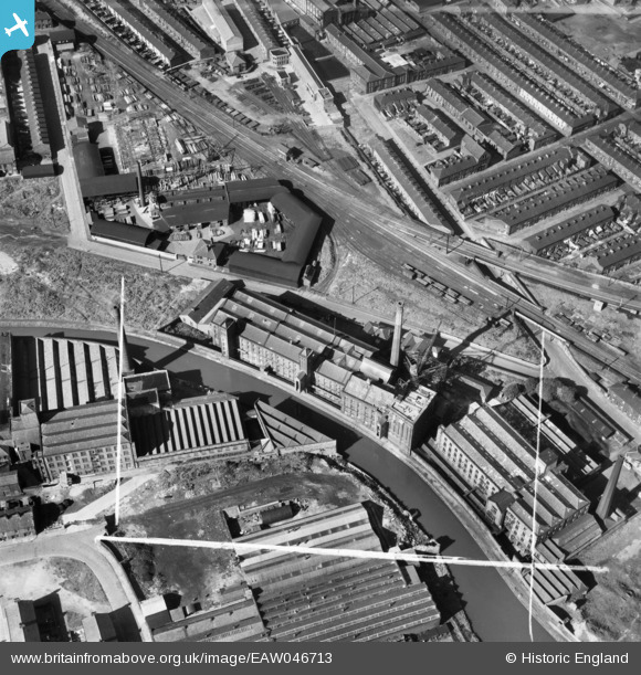
EAW046713 ENGLAND (1952). Daisyfield Mills and environs, Blackburn, 1952. This image was marked by Aerofilms Ltd for photo editing.
© Copyright OpenStreetMap contributors and licensed by the OpenStreetMap Foundation. 2026. Cartography is licensed as CC BY-SA.
Nearby Images (10)
EAW046713

EAW046707

EAW046709

EAW046714

EAW046712

EAW046716

EAW046708

EAW046715

EAW046710

EAW046711

Details
| Title | [EAW046713] Daisyfield Mills and environs, Blackburn, 1952. This image was marked by Aerofilms Ltd for photo editing. |
| Reference | EAW046713 |
| Date | 7-September-1952 |
| Link | |
| Place name | BLACKBURN |
| Parish | |
| District | |
| Country | ENGLAND |
| Easting / Northing | 369309, 428498 |
| Longitude / Latitude | -2.465492043811, 53.751724500739 |
| National Grid Reference | SD693285 |
Pins

Ardensbold |
Tuesday 30th of June 2015 05:57:47 PM | |
|
Ardensbold |
Tuesday 30th of June 2015 05:56:50 PM | |

powerpop |
Tuesday 28th of October 2014 09:45:03 PM | |
|
powerpop |
Tuesday 28th of October 2014 09:44:33 PM |