
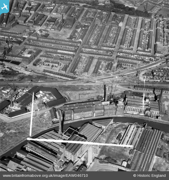
EAW046710 ENGLAND (1952). Daisyfield Mills and rows of terraced houses around Peter Street, Blackburn, 1952. This image was marked by Aerofilms Ltd for photo editing.
© Copyright OpenStreetMap contributors and licensed by the OpenStreetMap Foundation. 2026. Cartography is licensed as CC BY-SA.
Nearby Images (10)
EAW046710

EAW046709

EAW046707

EAW046712

EAW046713

EAW046714

EAW046716

EAW046715

EAW046708

EAW046711

Details
| Title | [EAW046710] Daisyfield Mills and rows of terraced houses around Peter Street, Blackburn, 1952. This image was marked by Aerofilms Ltd for photo editing. |
| Reference | EAW046710 |
| Date | 7-September-1952 |
| Link | |
| Place name | BLACKBURN |
| Parish | |
| District | |
| Country | ENGLAND |
| Easting / Northing | 369268, 428550 |
| Longitude / Latitude | -2.46611904475, 53.752189501195 |
| National Grid Reference | SD693286 |
Pins

ewoodeddie1968 |
Tuesday 21st of September 2021 10:27:36 AM |