
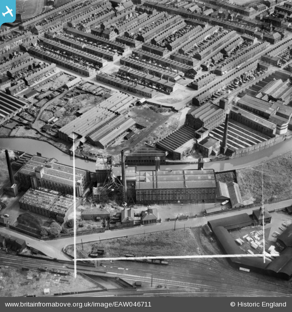
EAW046711 ENGLAND (1952). Daisyfield Mills and rows of terraced houses around Clerk Hill Street, Blackburn, 1952. This image was marked by Aerofilms Ltd for photo editing.
© Copyright OpenStreetMap contributors and licensed by the OpenStreetMap Foundation. 2026. Cartography is licensed as CC BY-SA.
Nearby Images (10)
EAW046711

EAW046708

EAW046715

EAW046716

EAW046714

EAW046713

EAW046712

EAW046707

EAW046709

EAW046710

Details
| Title | [EAW046711] Daisyfield Mills and rows of terraced houses around Clerk Hill Street, Blackburn, 1952. This image was marked by Aerofilms Ltd for photo editing. |
| Reference | EAW046711 |
| Date | 7-September-1952 |
| Link | |
| Place name | BLACKBURN |
| Parish | |
| District | |
| Country | ENGLAND |
| Easting / Northing | 369385, 428483 |
| Longitude / Latitude | -2.4643379025546, 53.751594139469 |
| National Grid Reference | SD694285 |

