
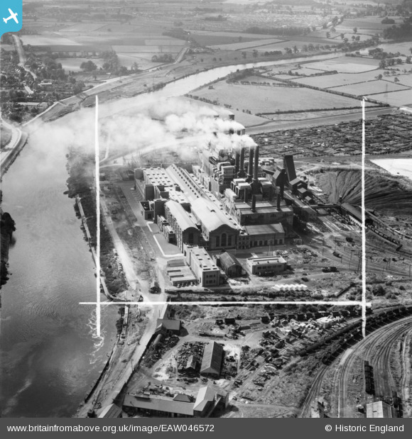
EAW046572 ENGLAND (1952). Wilford Power Station, Nottingham, 1952. This image was marked by Aerofilms Ltd for photo editing.
© Copyright OpenStreetMap contributors and licensed by the OpenStreetMap Foundation. 2026. Cartography is licensed as CC BY-SA.
Nearby Images (43)
EAW046572

EAW046570

EAW033486

EAW018461

EAW018459

EAW033478

EAW033481

EAW009116

EAW033480

EAW018454

EAW009122

EAW033484

EAW009118

EPW021043

EAW009119

EAW033483

EAW018462

EAW033477

EAW018453

EAW018458

EAW033487

EAW009117

EAW009125

EAW009127

EAW033482

EAW046569

EAW018457

EAW046571

EAW018452

EAW046576

EAW009126

EAW018456

EAW009124

EAW018455

EAW046573

EAW046575

EAW018460

EAW046574

EAW018451

EAW009123

EAW033485

EAW009120

EAW009121

Details
| Title | [EAW046572] Wilford Power Station, Nottingham, 1952. This image was marked by Aerofilms Ltd for photo editing. |
| Reference | EAW046572 |
| Date | 1-September-1952 |
| Link | |
| Place name | NOTTINGHAM |
| Parish | |
| District | |
| Country | ENGLAND |
| Easting / Northing | 456418, 337688 |
| Longitude / Latitude | -1.1605289844916, 52.933308928078 |
| National Grid Reference | SK564377 |
Pins
Be the first to add a comment to this image!