
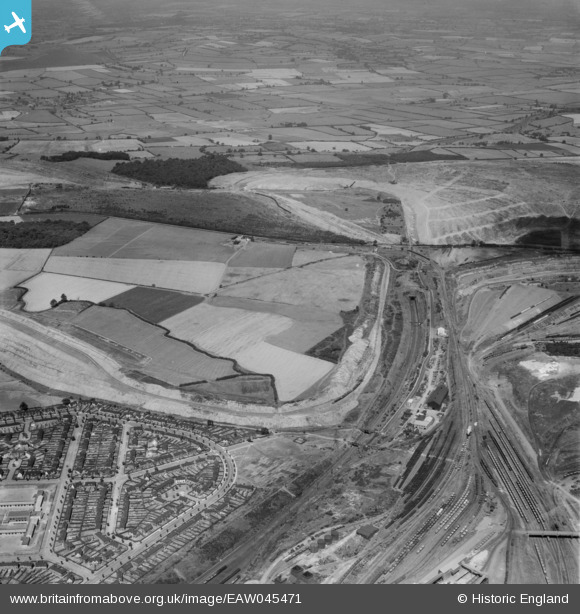
EAW045471 ENGLAND (1952). Earlstrees Quarry and the surrounding area, Corby, from the south-east, 1952
© Copyright OpenStreetMap contributors and licensed by the OpenStreetMap Foundation. 2025. Cartography is licensed as CC BY-SA.
Nearby Images (3)
EAW045471

EAW044697

EAW044696

Details
| Title | [EAW045471] Earlstrees Quarry and the surrounding area, Corby, from the south-east, 1952 |
| Reference | EAW045471 |
| Date | 6-August-1952 |
| Link | |
| Place name | CORBY |
| Parish | |
| District | |
| Country | ENGLAND |
| Easting / Northing | 489532, 290130 |
| Longitude / Latitude | -0.68088777298522, 52.501344861828 |
| National Grid Reference | SP895901 |
Pins
Be the first to add a comment to this image!