
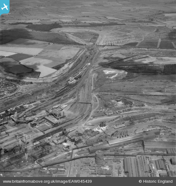
EAW045439 ENGLAND (1952). Part of the Stewarts & Lloyds Ltd Steelworks, Corby, from the south-east, 1952
© Copyright OpenStreetMap contributors and licensed by the OpenStreetMap Foundation. 2026. Cartography is licensed as CC BY-SA.
Nearby Images (11)
EAW045439

EAW045454
, Corby, from the south-east, 1952")
EPW049773

EPW049770

EAW044703

EAW034114

EAW044698

EPW049775

EPW049774

EAW034116

EAW034123

Details
| Title | [EAW045439] Part of the Stewarts & Lloyds Ltd Steelworks, Corby, from the south-east, 1952 |
| Reference | EAW045439 |
| Date | 6-August-1952 |
| Link | |
| Place name | CORBY |
| Parish | |
| District | |
| Country | ENGLAND |
| Easting / Northing | 490090, 289715 |
| Longitude / Latitude | -0.67278127005846, 52.497522692885 |
| National Grid Reference | SP901897 |
Pins
Be the first to add a comment to this image!