
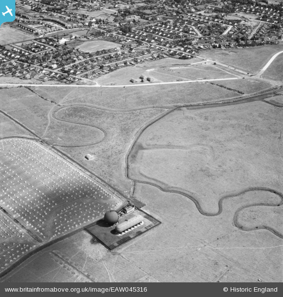
EAW045316 ENGLAND (1952). The Gas Holder Station near Thornycreek Fleet and the fields and residential area around Thorney Bay Road, Canvey Island, 1952
© Copyright OpenStreetMap contributors and licensed by the OpenStreetMap Foundation. 2026. Cartography is licensed as CC BY-SA.
Nearby Images (3)
EAW045316

EAW045317

EAW045315

Details
| Title | [EAW045316] The Gas Holder Station near Thornycreek Fleet and the fields and residential area around Thorney Bay Road, Canvey Island, 1952 |
| Reference | EAW045316 |
| Date | 2-August-1952 |
| Link | |
| Place name | CANVEY ISLAND |
| Parish | CANVEY ISLAND |
| District | |
| Country | ENGLAND |
| Easting / Northing | 578826, 182672 |
| Longitude / Latitude | 0.5775112053481, 51.514145269888 |
| National Grid Reference | TQ788827 |
