
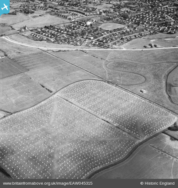
EAW045315 ENGLAND (1952). Fields and the residential area around Thorney Bay Road, Canvey Island, 1952
© Copyright OpenStreetMap contributors and licensed by the OpenStreetMap Foundation. 2026. Cartography is licensed as CC BY-SA.
Nearby Images (2)
EAW045315

EAW045316

Details
| Title | [EAW045315] Fields and the residential area around Thorney Bay Road, Canvey Island, 1952 |
| Reference | EAW045315 |
| Date | 2-August-1952 |
| Link | |
| Place name | CANVEY ISLAND |
| Parish | CANVEY ISLAND |
| District | |
| Country | ENGLAND |
| Easting / Northing | 578675, 182781 |
| Longitude / Latitude | 0.57539238558038, 51.515172238506 |
| National Grid Reference | TQ787828 |
