
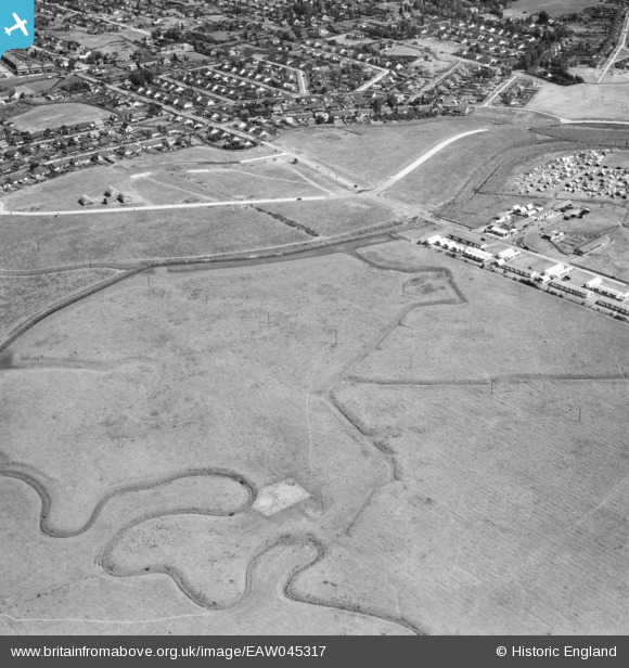
EAW045317 ENGLAND (1952). Thornycreek Fleet, fields adjacent to Thorney Bay Camp and the residential area by Craven Avenue, Canvey Island, 1952
© Copyright OpenStreetMap contributors and licensed by the OpenStreetMap Foundation. 2026. Cartography is licensed as CC BY-SA.
Nearby Images (4)
EAW045317

EAW045316

EAW045318

EAW051060

Details
| Title | [EAW045317] Thornycreek Fleet, fields adjacent to Thorney Bay Camp and the residential area by Craven Avenue, Canvey Island, 1952 |
| Reference | EAW045317 |
| Date | 2-August-1952 |
| Link | |
| Place name | CANVEY ISLAND |
| Parish | CANVEY ISLAND |
| District | |
| Country | ENGLAND |
| Easting / Northing | 578959, 182605 |
| Longitude / Latitude | 0.5793920976154, 51.513501267731 |
| National Grid Reference | TQ790826 |
Pins

redmist |
Saturday 28th of January 2023 08:56:04 PM |