
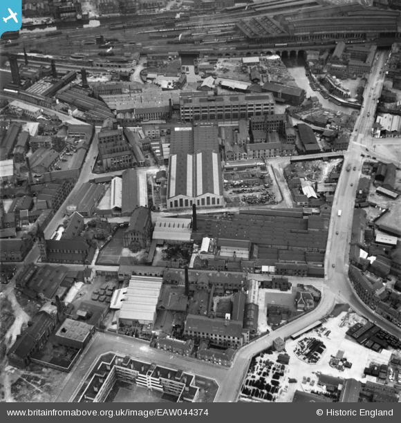
EAW044374 ENGLAND (1952). Industrial buildings around Water Lane and Camp Field, Leeds, 1952
© Copyright OpenStreetMap contributors and licensed by the OpenStreetMap Foundation. 2026. Cartography is licensed as CC BY-SA.
Nearby Images (14)
EAW044374

EAW044372

EAW044376

EAW044375

EPW050098

EAW044373

EAW044371

EAW044370

EPW050097

EPW050093

EPW050092

EPW050094

EPW050095

EPW050096

Details
| Title | [EAW044374] Industrial buildings around Water Lane and Camp Field, Leeds, 1952 |
| Reference | EAW044374 |
| Date | 27-June-1952 |
| Link | |
| Place name | LEEDS |
| Parish | |
| District | |
| Country | ENGLAND |
| Easting / Northing | 429799, 432813 |
| Longitude / Latitude | -1.5476196765332, 53.790562828831 |
| National Grid Reference | SE298328 |
Pins

Leeds City Council |
Thursday 29th of July 2021 04:34:43 PM | |
|
Leeds City Council |
Thursday 29th of July 2021 04:33:52 PM | |
|
Kevin |
Tuesday 27th of October 2020 01:14:17 PM |