
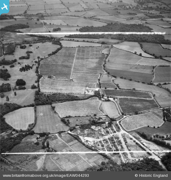
EAW044293 ENGLAND (1952). Orchards at Brock's Farm between Twitty Fee and Thrift Wood, Runsell Green, 1952. This image was marked by Aerofilms Ltd for photo editing.
© Copyright OpenStreetMap contributors and licensed by the OpenStreetMap Foundation. 2025. Cartography is licensed as CC BY-SA.
Nearby Images (11)
EAW044293

EAW044296

EAW043939

EAW043941

EAW043938

EAW043937

EAW043940

EAW044294

EAW043451

EAW043942

EAW044295

Details
| Title | [EAW044293] Orchards at Brock's Farm between Twitty Fee and Thrift Wood, Runsell Green, 1952. This image was marked by Aerofilms Ltd for photo editing. |
| Reference | EAW044293 |
| Date | 24-June-1952 |
| Link | |
| Place name | RUNSELL GREEN |
| Parish | DANBURY |
| District | |
| Country | ENGLAND |
| Easting / Northing | 579637, 205959 |
| Longitude / Latitude | 0.60112750859358, 51.723077265633 |
| National Grid Reference | TL796060 |
Pins
Be the first to add a comment to this image!