
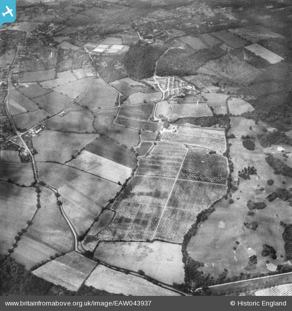
EAW043937 ENGLAND (1952). Giles Tuker Ltd Orchards surrounding Brock's Farm, Danbury, 1952
© Copyright OpenStreetMap contributors and licensed by the OpenStreetMap Foundation. 2025. Cartography is licensed as CC BY-SA.
Nearby Images (12)
EAW043937

EAW043941

EAW043451

EAW044296

EAW043940

EAW043938

EAW043942

EAW043939

EAW044293

EAW044294

EAW043450

EAW044295

Details
| Title | [EAW043937] Giles Tuker Ltd Orchards surrounding Brock's Farm, Danbury, 1952 |
| Reference | EAW043937 |
| Date | 10-June-1952 |
| Link | |
| Place name | DANBURY |
| Parish | DANBURY |
| District | |
| Country | ENGLAND |
| Easting / Northing | 579686, 205831 |
| Longitude / Latitude | 0.60177019381284, 51.721911756347 |
| National Grid Reference | TL797058 |
Pins
Be the first to add a comment to this image!