
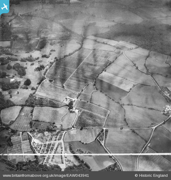
EAW043941 ENGLAND (1952). Giles Tuker Ltd Orchards surrounding Brock's Farm, Danbury, 1952. This image was marked by Aerofilms Ltd for photo editing.
© Copyright OpenStreetMap contributors and licensed by the OpenStreetMap Foundation. 2025. Cartography is licensed as CC BY-SA.
Nearby Images (12)
EAW043941

EAW043937

EAW043451

EAW043940

EAW043938

EAW044296

EAW043939

EAW043942

EAW044293

EAW044294

EAW044295

EAW043450

Details
| Title | [EAW043941] Giles Tuker Ltd Orchards surrounding Brock's Farm, Danbury, 1952. This image was marked by Aerofilms Ltd for photo editing. |
| Reference | EAW043941 |
| Date | 10-June-1952 |
| Link | |
| Place name | DANBURY |
| Parish | DANBURY |
| District | |
| Country | ENGLAND |
| Easting / Northing | 579708, 205868 |
| Longitude / Latitude | 0.60210748161539, 51.72223707312 |
| National Grid Reference | TL797059 |
Pins
Be the first to add a comment to this image!