
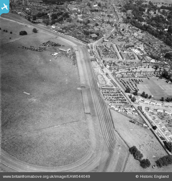
EAW044049 ENGLAND (1952). Warwick Racecourse, Warwick, 1952
© Copyright OpenStreetMap contributors and licensed by the OpenStreetMap Foundation. 2026. Cartography is licensed as CC BY-SA.
Nearby Images (6)
EAW044049

EAW044050

EPW001209

EAW044051

EAW044048

EAW044047

Details
| Title | [EAW044049] Warwick Racecourse, Warwick, 1952 |
| Reference | EAW044049 |
| Date | 16-June-1952 |
| Link | |
| Place name | WARWICK |
| Parish | WARWICK |
| District | |
| Country | ENGLAND |
| Easting / Northing | 427409, 264483 |
| Longitude / Latitude | -1.5982184966941, 52.277417904748 |
| National Grid Reference | SP274645 |
Pins
Be the first to add a comment to this image!