
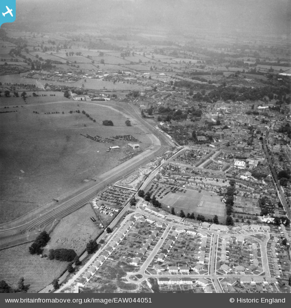
EAW044051 ENGLAND (1952). Warwick Racecourse, Warwick, from the south, 1952
© Copyright OpenStreetMap contributors and licensed by the OpenStreetMap Foundation. 2026. Cartography is licensed as CC BY-SA.
Nearby Images (2)
EAW044051

EAW044049

Details
| Title | [EAW044051] Warwick Racecourse, Warwick, from the south, 1952 |
| Reference | EAW044051 |
| Date | 16-June-1952 |
| Link | |
| Place name | WARWICK |
| Parish | WARWICK |
| District | |
| Country | ENGLAND |
| Easting / Northing | 427443, 264255 |
| Longitude / Latitude | -1.5977386725382, 52.275366238107 |
| National Grid Reference | SP274643 |
Pins
Be the first to add a comment to this image!