
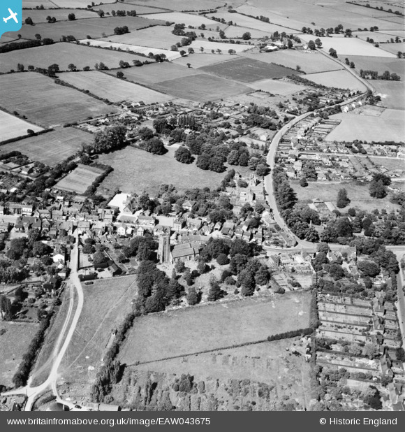
EAW043675 ENGLAND (1952). The village, Thorpe-le-Soken, 1952
© Copyright OpenStreetMap contributors and licensed by the OpenStreetMap Foundation. 2026. Cartography is licensed as CC BY-SA.
Nearby Images (3)
EAW043675

EAW043674

EAW043673

Details
| Title | [EAW043675] The village, Thorpe-le-Soken, 1952 |
| Reference | EAW043675 |
| Date | 4-June-1952 |
| Link | |
| Place name | THORPE-LE-SOKEN |
| Parish | THORPE-LE-SOKEN |
| District | |
| Country | ENGLAND |
| Easting / Northing | 617972, 222415 |
| Longitude / Latitude | 1.1657218997341, 51.857238240829 |
| National Grid Reference | TM180224 |


