
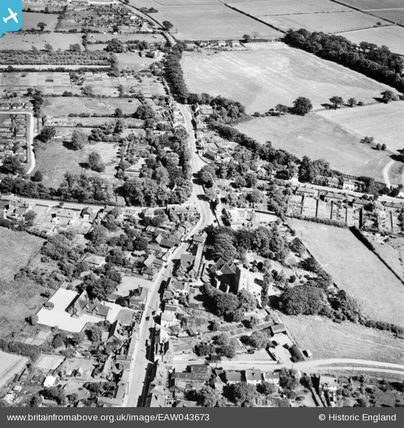
EAW043673 ENGLAND (1952). The village, Thorpe-le-Soken, 1952
© Copyright OpenStreetMap contributors and licensed by the OpenStreetMap Foundation. 2026. Cartography is licensed as CC BY-SA.
Nearby Images (3)
EAW043673

EAW043674

EAW043675

Details
| Title | [EAW043673] The village, Thorpe-le-Soken, 1952 |
| Reference | EAW043673 |
| Date | 4-June-1952 |
| Link | |
| Place name | THORPE-LE-SOKEN |
| Parish | THORPE-LE-SOKEN |
| District | |
| Country | ENGLAND |
| Easting / Northing | 618035, 222266 |
| Longitude / Latitude | 1.1665413734765, 51.855875878719 |
| National Grid Reference | TM180223 |
Pins

totoro |
Monday 26th of December 2016 09:50:27 PM | |
|
totoro |
Monday 26th of December 2016 09:47:08 PM | |
|
totoro |
Monday 26th of December 2016 09:46:43 PM | |
|
totoro |
Monday 26th of December 2016 09:43:08 PM | |
|
totoro |
Monday 26th of December 2016 09:35:27 PM | |
|
totoro |
Monday 26th of December 2016 09:33:16 PM | |
|
totoro |
Monday 26th of December 2016 09:29:37 PM | |
|
totoro |
Monday 26th of December 2016 09:28:32 PM | |
|
totoro |
Monday 26th of December 2016 09:28:03 PM |