
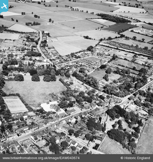
EAW043674 ENGLAND (1952). The village, Thorpe-le-Soken, 1952
© Copyright OpenStreetMap contributors and licensed by the OpenStreetMap Foundation. 2026. Cartography is licensed as CC BY-SA.
Nearby Images (3)
EAW043674

EAW043675

EAW043673

Details
| Title | [EAW043674] The village, Thorpe-le-Soken, 1952 |
| Reference | EAW043674 |
| Date | 4-June-1952 |
| Link | |
| Place name | THORPE-LE-SOKEN |
| Parish | THORPE-LE-SOKEN |
| District | |
| Country | ENGLAND |
| Easting / Northing | 618114, 222405 |
| Longitude / Latitude | 1.1677745276816, 51.857092983695 |
| National Grid Reference | TM181224 |
