
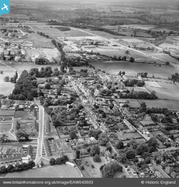
EAW043603 ENGLAND (1952). The town centre, Harlow, from the east, 1952
© Copyright OpenStreetMap contributors and licensed by the OpenStreetMap Foundation. 2026. Cartography is licensed as CC BY-SA.
Nearby Images (6)
EAW043603

EAW001508

EPW028421
 and environs, Old Harlow, 1929. This image has been produced from a copy-negative.")
EAW043602

EPW028423

EPW028422
 and environs, Old Harlow, 1929. This image has been produced from a copy-negative.")
Details
| Title | [EAW043603] The town centre, Harlow, from the east, 1952 |
| Reference | EAW043603 |
| Date | 4-June-1952 |
| Link | |
| Place name | HARLOW |
| Parish | |
| District | |
| Country | ENGLAND |
| Easting / Northing | 547279, 211572 |
| Longitude / Latitude | 0.13535382441733, 51.782949518594 |
| National Grid Reference | TL473116 |
Pins

steveF |
Friday 19th of March 2021 06:59:44 AM | |
|
steveF |
Friday 19th of March 2021 06:57:40 AM | |
|
steveF |
Friday 19th of March 2021 06:51:55 AM | |
|
Mikeya |
Monday 18th of August 2014 07:56:58 PM | |
|
Mikeya |
Monday 18th of August 2014 07:56:31 PM | |
|
markmaltese67 |
Monday 18th of August 2014 02:24:44 PM | |
|
markmaltese67 |
Monday 18th of August 2014 02:22:43 PM |
User Comment Contributions
This is more accurately Old Harlow town centre rather than the town centre of Harlow New Town, developed some miles west. |
Mikeya |
Monday 18th of August 2014 07:57:37 PM |