
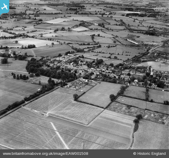
EAW001508 ENGLAND (1946). The village, Harlow, 1946
© Copyright OpenStreetMap contributors and licensed by the OpenStreetMap Foundation. 2026. Cartography is licensed as CC BY-SA.
Nearby Images (5)
EAW001508

EPW028421
 and environs, Old Harlow, 1929. This image has been produced from a copy-negative.")
EAW043603

EPW028422
 and environs, Old Harlow, 1929. This image has been produced from a copy-negative.")
EAW043602

Details
| Title | [EAW001508] The village, Harlow, 1946 |
| Reference | EAW001508 |
| Date | 5-July-1946 |
| Link | |
| Place name | HARLOW |
| Parish | |
| District | |
| Country | ENGLAND |
| Easting / Northing | 547189, 211498 |
| Longitude / Latitude | 0.13401853102445, 51.78230825131 |
| National Grid Reference | TL472115 |
