
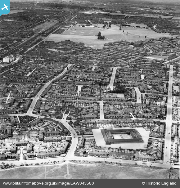
EAW043580 ENGLAND (1952). Hunters Hall County Primary School looking towards Parsloes Park, Dagenham, from the north-east, 1952
© Copyright OpenStreetMap contributors and licensed by the OpenStreetMap Foundation. 2026. Cartography is licensed as CC BY-SA.
Nearby Images (3)
EAW043580

EPW017651

EPW024294

Details
| Title | [EAW043580] Hunters Hall County Primary School looking towards Parsloes Park, Dagenham, from the north-east, 1952 |
| Reference | EAW043580 |
| Date | 4-June-1952 |
| Link | |
| Place name | DAGENHAM |
| Parish | |
| District | |
| Country | ENGLAND |
| Easting / Northing | 549530, 185196 |
| Longitude / Latitude | 0.15667787082086, 51.545341769315 |
| National Grid Reference | TQ495852 |
Pins

Matt Aldred edob.mattaldred.com |
Sunday 1st of August 2021 08:01:20 PM | |

rac |
Friday 1st of August 2014 07:56:11 PM |