
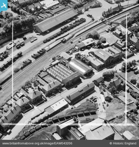
EAW043206 ENGLAND (1952). Shirley Road, Rushden, 1952. This image was marked by Aerofilms Ltd for photo editing.
© Copyright OpenStreetMap contributors and licensed by the OpenStreetMap Foundation. 2026. Cartography is licensed as CC BY-SA.
Nearby Images (12)
EAW043206

EAW043205

EAW043204

EAW043201

EAW043202

EAW043203

EAW043208

EAW043207

EAW002828

EAW002826

EAW002827

EAW002830

Details
| Title | [EAW043206] Shirley Road, Rushden, 1952. This image was marked by Aerofilms Ltd for photo editing. |
| Reference | EAW043206 |
| Date | 21-May-1952 |
| Link | |
| Place name | RUSHDEN |
| Parish | RUSHDEN |
| District | |
| Country | ENGLAND |
| Easting / Northing | 495809, 267283 |
| Longitude / Latitude | -0.59497445528242, 52.294919687663 |
| National Grid Reference | SP958673 |
Pins

Matt Aldred edob.mattaldred.com |
Thursday 8th of May 2025 03:19:49 PM | |

John W |
Monday 4th of July 2016 04:52:37 PM | |
|
John W |
Monday 4th of July 2016 04:52:05 PM | |

melgibbs |
Thursday 19th of February 2015 04:33:37 PM | |
At Rushden railway station - now preserved - see http://rhts.co.uk/ |
John W |
Monday 4th of July 2016 04:51:29 PM |