
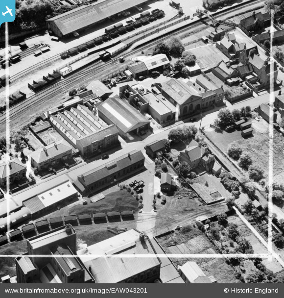
EAW043201 ENGLAND (1952). Shirley Road, Rushden, 1952. This image was marked by Aerofilms Ltd for photo editing.
© Copyright OpenStreetMap contributors and licensed by the OpenStreetMap Foundation. 2026. Cartography is licensed as CC BY-SA.
Nearby Images (11)
EAW043201

EAW043204

EAW043202

EAW043203

EAW043205

EAW043206

EAW043207

EAW043208

EAW002828

EAW002826

EAW002830

Details
| Title | [EAW043201] Shirley Road, Rushden, 1952. This image was marked by Aerofilms Ltd for photo editing. |
| Reference | EAW043201 |
| Date | 21-May-1952 |
| Link | |
| Place name | RUSHDEN |
| Parish | RUSHDEN |
| District | |
| Country | ENGLAND |
| Easting / Northing | 495791, 267295 |
| Longitude / Latitude | -0.59523492355088, 52.295030690044 |
| National Grid Reference | SP958673 |

