
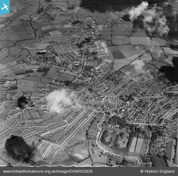
EAW002826 ENGLAND (1946). The towns of Rushden and Higham Ferrers, Rushden, 1946
© Copyright OpenStreetMap contributors and licensed by the OpenStreetMap Foundation. 2026. Cartography is licensed as CC BY-SA.
Nearby Images (11)
EAW002826

EAW002828

EAW002827

EAW043207

EAW043208

EAW043201

EAW043204

EAW043203

EAW043206

EAW043202

EAW043205

Details
| Title | [EAW002826] The towns of Rushden and Higham Ferrers, Rushden, 1946 |
| Reference | EAW002826 |
| Date | 30-September-1946 |
| Link | |
| Place name | RUSHDEN |
| Parish | RUSHDEN |
| District | |
| Country | ENGLAND |
| Easting / Northing | 495604, 267167 |
| Longitude / Latitude | -0.59801270269648, 52.293912729458 |
| National Grid Reference | SP956672 |
Pins

John W |
Monday 4th of July 2016 04:30:22 PM | |
|
Ritchiet |
Thursday 4th of February 2016 10:06:19 PM | |
|
Ritchiet |
Wednesday 3rd of February 2016 08:43:33 PM | |
|
Ritchiet |
Wednesday 3rd of February 2016 08:41:27 PM | |

melgibbs |
Thursday 19th of February 2015 07:25:50 PM | |
|
melgibbs |
Thursday 19th of February 2015 03:56:00 PM | |
|
melgibbs |
Thursday 19th of February 2015 03:53:44 PM | |
|
melgibbs |
Thursday 19th of February 2015 03:53:19 PM | |
|
melgibbs |
Thursday 19th of February 2015 03:52:12 PM |