
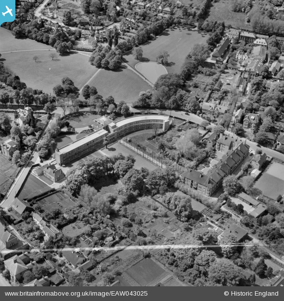
EAW043025 ENGLAND (1952). Swail House and environs, Epsom, 1952. This image was marked by Aerofilms Ltd for photo editing.
© Copyright OpenStreetMap contributors and licensed by the OpenStreetMap Foundation. 2026. Cartography is licensed as CC BY-SA.
Nearby Images (21)
EAW043025

EAW043021

EAW043023

EAW043019

EAW043026

EAW043017

EAW043018

EAW043016

EAW043022

EAW043024

EAW043020

EPW025145

EPW025262

EPW025146

EPW025143

EPW025148

EPW006480

EPW048876

EPW057024

EAW024762

EPW006492

Details
| Title | [EAW043025] Swail House and environs, Epsom, 1952. This image was marked by Aerofilms Ltd for photo editing. |
| Reference | EAW043025 |
| Date | 9-May-1952 |
| Link | |
| Place name | EPSOM |
| Parish | |
| District | |
| Country | ENGLAND |
| Easting / Northing | 520903, 160533 |
| Longitude / Latitude | -0.26440591633259, 51.330520875716 |
| National Grid Reference | TQ209605 |
Pins
Be the first to add a comment to this image!