
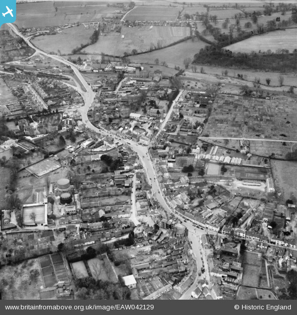
EAW042129 ENGLAND (1952). The town, Great Dunmow, 1952
© Copyright OpenStreetMap contributors and licensed by the OpenStreetMap Foundation. 2026. Cartography is licensed as CC BY-SA.
Nearby Images (8)
EAW042129

EAW042130

EAW037042

EAW021039

EPW025008

EAW037043

EAW021040

EAW037044

Details
| Title | [EAW042129] The town, Great Dunmow, 1952 |
| Reference | EAW042129 |
| Date | 27-March-1952 |
| Link | |
| Place name | GREAT DUNMOW |
| Parish | GREAT DUNMOW |
| District | |
| Country | ENGLAND |
| Easting / Northing | 562814, 221822 |
| Longitude / Latitude | 0.36521538711567, 51.870734510089 |
| National Grid Reference | TL628218 |
Pins
Be the first to add a comment to this image!