
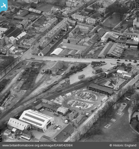
EAW042084 ENGLAND (1952). Wheelers Ltd Cornard Road Timber Yard and the surrounding area, Sudbury, 1952
© Copyright OpenStreetMap contributors and licensed by the OpenStreetMap Foundation. 2026. Cartography is licensed as CC BY-SA.
Nearby Images (19)
EAW042084

EAW042085

EAW042083

EAW042081

EAW042082

EAW042079

EAW042077

EPW001737

EAW042078

EAW042080

EAW042074

EPW025895

EPW025900

EAW042075

EAW042076

EPW025896

EPW001739

EAW029735

EAW029736

Details
| Title | [EAW042084] Wheelers Ltd Cornard Road Timber Yard and the surrounding area, Sudbury, 1952 |
| Reference | EAW042084 |
| Date | 27-March-1952 |
| Link | |
| Place name | SUDBURY |
| Parish | SUDBURY |
| District | |
| Country | ENGLAND |
| Easting / Northing | 587569, 241176 |
| Longitude / Latitude | 0.73498582368813, 52.036790352798 |
| National Grid Reference | TL876412 |
Pins
Be the first to add a comment to this image!