
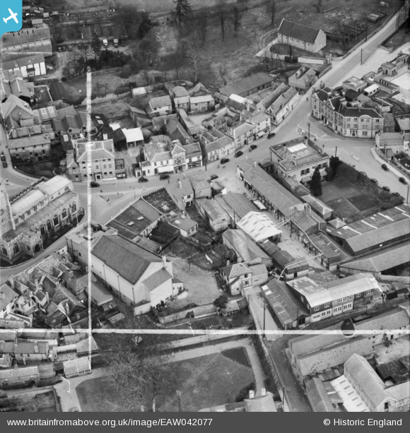
EAW042077 ENGLAND (1952). Wheelers Ltd King Street Saw Mill, Sudbury, 1952. This image was marked by Aerofilms Ltd for photo editing.
© Copyright OpenStreetMap contributors and licensed by the OpenStreetMap Foundation. 2026. Cartography is licensed as CC BY-SA.
Nearby Images (19)
EAW042077

EAW042078

EPW025895

EPW001737

EAW042075

EAW042080

EAW042074

EAW042076

EAW042079

EPW025900

EPW025896

EPW001739

EAW042085

EAW029735

EAW029736

EAW042084

EAW042081

EAW042082

EAW042083

Details
| Title | [EAW042077] Wheelers Ltd King Street Saw Mill, Sudbury, 1952. This image was marked by Aerofilms Ltd for photo editing. |
| Reference | EAW042077 |
| Date | 27-March-1952 |
| Link | |
| Place name | SUDBURY |
| Parish | SUDBURY |
| District | |
| Country | ENGLAND |
| Easting / Northing | 587481, 241284 |
| Longitude / Latitude | 0.73376346718563, 52.037790108879 |
| National Grid Reference | TL875413 |
Pins
Be the first to add a comment to this image!